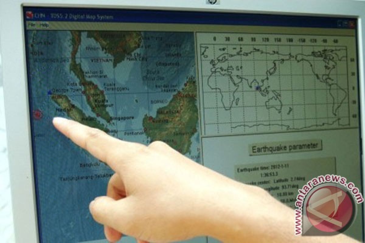
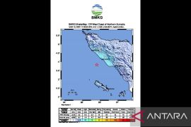
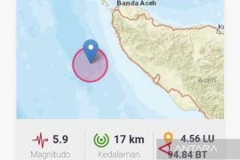
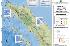
Based on the information monitored by the Bureau of Meteorology, Climatology and Geophysics in Jakarta, the earthquake`s epicentre was located on the northern latitude of 4.46 and eastern longitude of 93.23 - which is 263 kilometres from the southwest region of Banda Aceh.
The earthquake, which occurred at a depth of 10 kilometres, did not have the potential to create a tsunami.
Indonesia is prone to earthquakes, especially in the Sumatra region. The earthquakes occur because the Australian tectonic plates drift two inches per year in the northwest direction towards Sumatra, where they collide with Indonesia`s Sunda plate.
The archipelago is also prone to volcano eruptions because it is home to several active volcanoes located in the Pacific Ring of Fire.
(Uu.AH/INE/KR-BSR/F001)
Editor: Priyambodo RH
Copyright © ANTARA 2012
